Artifacts - Documents - Medals and Insignia - Maps - Coins and Currency
 |
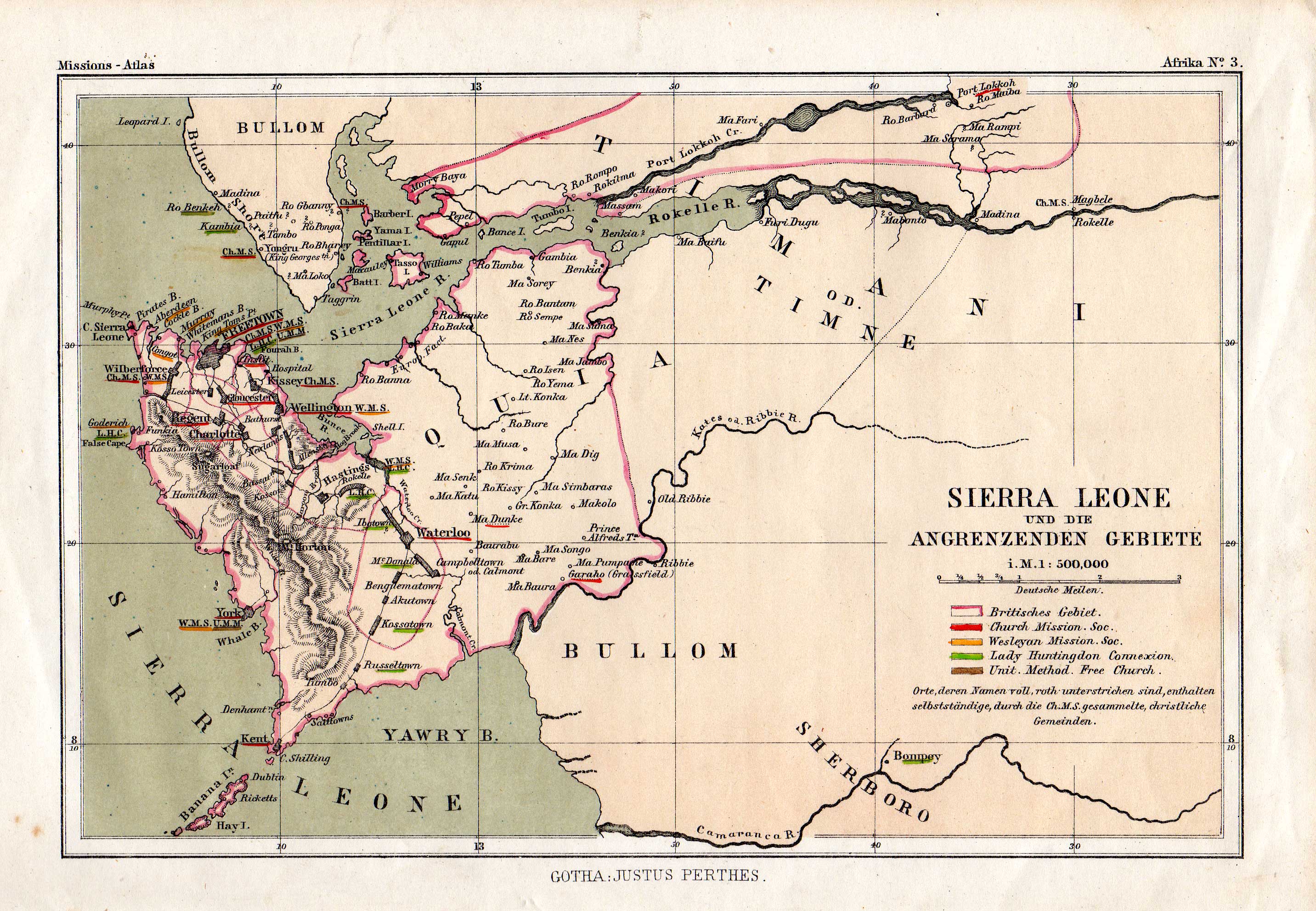 |
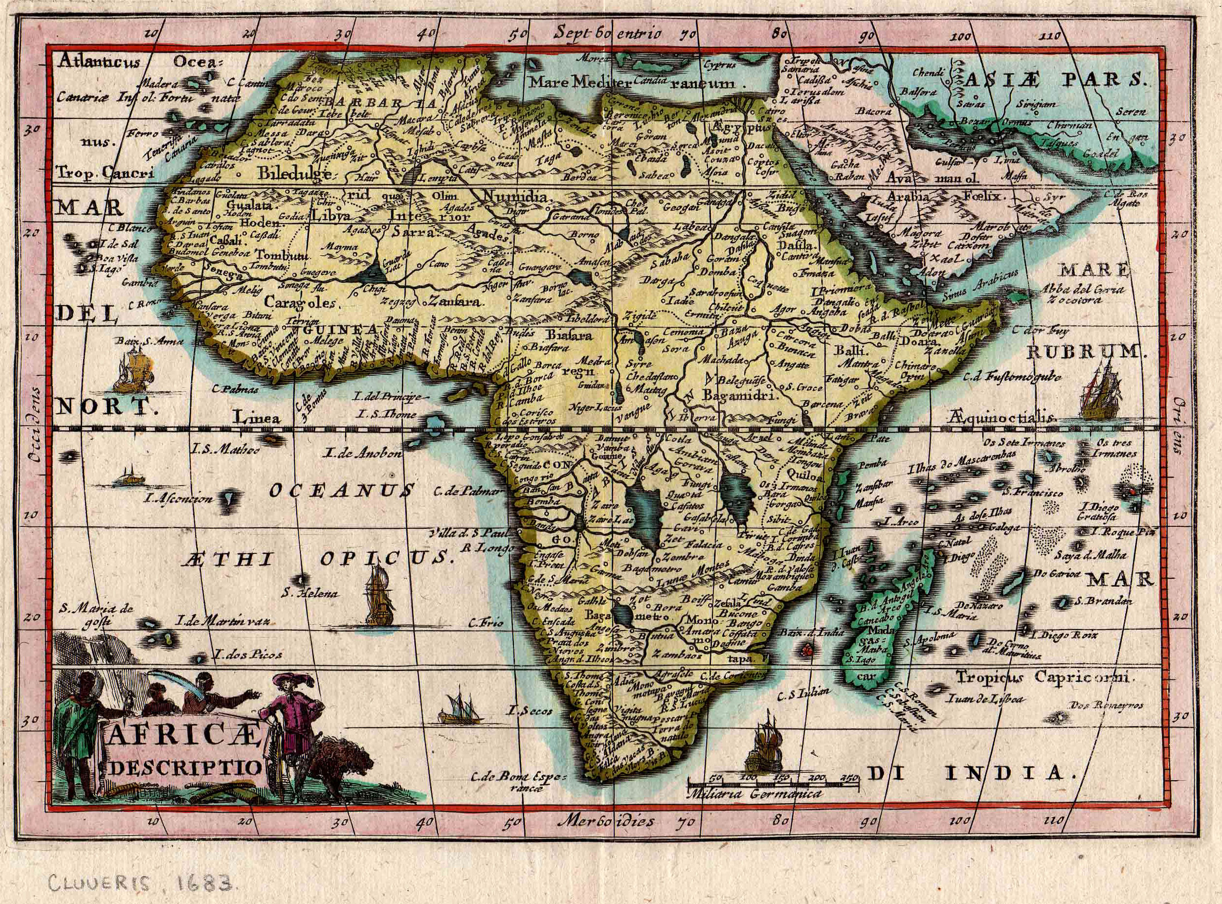
| Original 1683 Map of West Africa by the cartographer Cloveris showing Sierra Leone. | 19th century German map showing the locations throughout the country under the influence of various missionary groups. |
 |
 |
| Original 1754 map of “The Bay of Sierra Leone”. | Original 1786 map of West Africa showing Sierra Leone. |
 |
 |
| Antique map of "Sherbro and Mendi" from "A Cyclopedia of Missions" by Rev. Harvey Newcomb, Charles Scribner, New York, 1856. | Original 16th century map of the Guinea Coast identifying Sierra Leone by the Portuguese name "Sierra Liona". |
 |
|
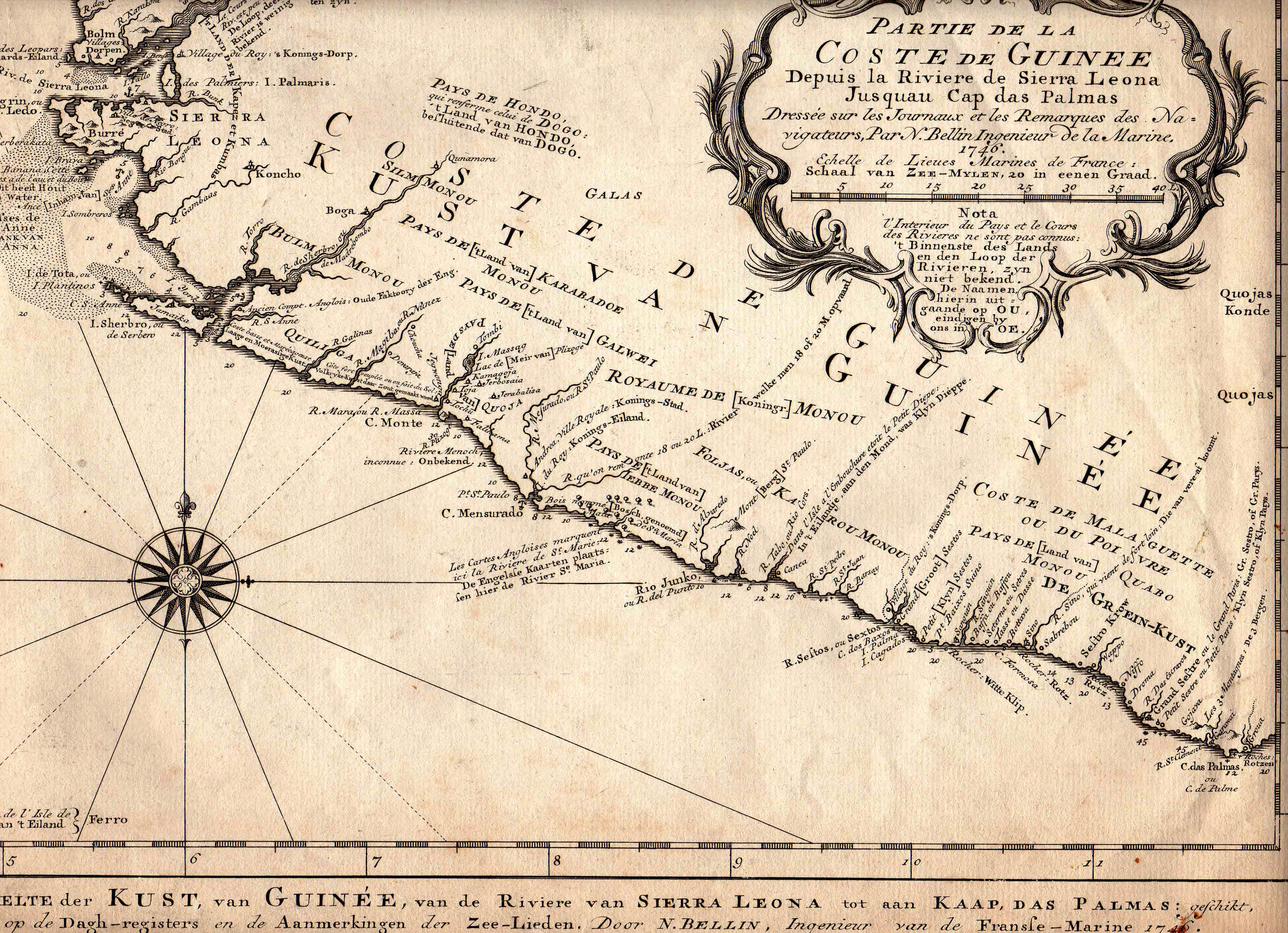
| 1746 map of the Guinea Coast, including Sierra Leone, by the famous map designer N. Bellin. Published in German. | |
 An original uncoloured engraved map of Bunce Island in Sierra Leone by Jacques-Nicolas Bellin. Beneath the map is an engraved view of the island. The engraving was printed in Antoine Francois Prevost's L'Histoire Generale des Voyages in Paris in the 1750s. An original uncoloured engraved map of Bunce Island in Sierra Leone by Jacques-Nicolas Bellin. Beneath the map is an engraved view of the island. The engraving was printed in Antoine Francois Prevost's L'Histoire Generale des Voyages in Paris in the 1750s. |
 Early 16th century German map showing Sierra Leone and the Sherbro Estuary. Early 16th century German map showing Sierra Leone and the Sherbro Estuary. |
 18th century map of the entry point to the Sierra Leone River. 18th century map of the entry point to the Sierra Leone River. |
 Hand-coloured map of Sierra Leone. Published in London, 1794. Hand-coloured map of Sierra Leone. Published in London, 1794. |